Major earthquakes in the Pacific Northwest are fairly uncommon, yet a significant threat looms: “The Big One” is an anticipated earthquake of Magnitude 8 or higher.
And it could happen any day.
This projected earthquake — which would occur along the Cascadia Subduction Zone spanning from southern British Columbia to northern California — prompted the formation of the Cascadia Region Earthquake Science Center (CRESCENT), and $15 million in funding recently approved by the National Science Foundation.
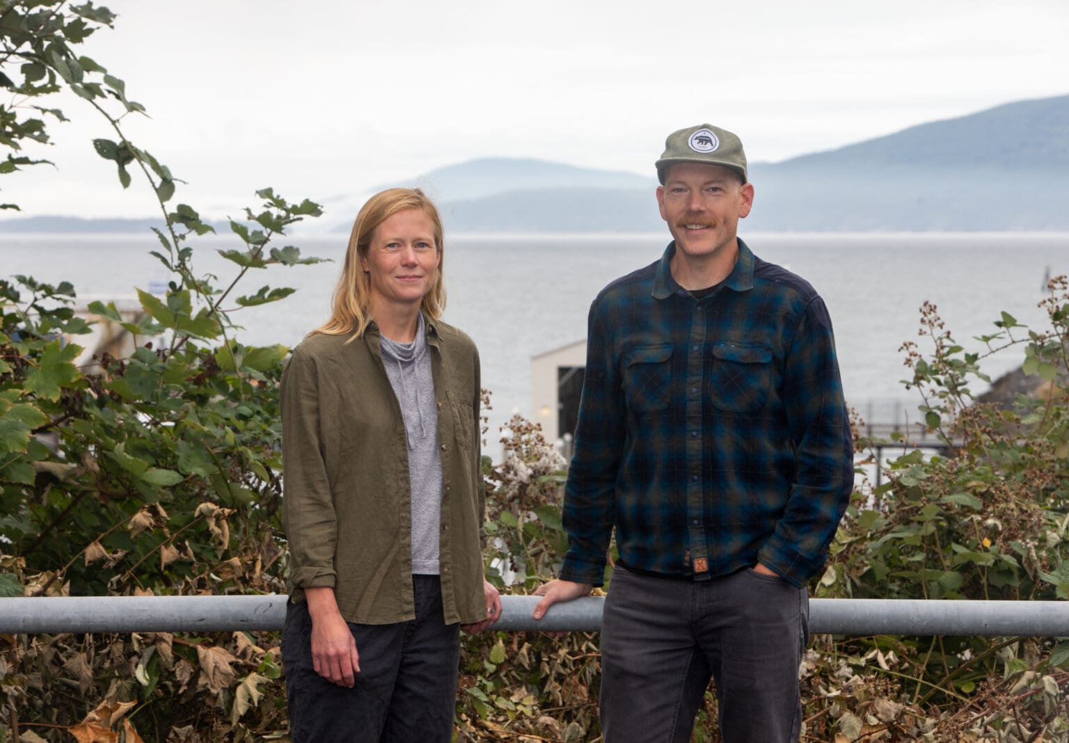
Two Western Washington University geologists, Emily Roland and Colin Amos, will support CRESCENT’s mission to help the Pacific Northwest prepare for earthquakes by studying the Cascadia Subduction Zone.
“It’s very possible that we could have a Magnitude 8 or 9 earthquake tomorrow, or in 10 years, or in three weeks from now,” said Roland, an assistant professor of geophysics at Western. “And so it’s an important goal, I think, for us to keep pursuing a better understanding of that.”
CRESCENT is heavily modeled after the Southern California Earthquake Center (SCEC).
But the key difference between the SCEC and CRESCENT boils down to geography. The San Andreas fault in Southern California is a strike-slip fault, meaning two tectonic plates move horizontally against each other. The offshore Cascadia Subduction Zone is known as a megathrust fault — a large tectonic plate pushing under another large plate.
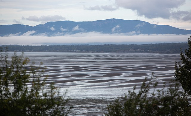 Areas like the mouth of the Nooksack River will be developed into a 3D model in a project led by Colin Amos and Emily Roland in an effort to map the entire Cascadia Subduction Zone. (Hailey Hoffman/Cascadia Daily News)
Earthquakes at faults like San Andreas are fairly common.
“[If] you’ve talked to any Southern Californian, many or most of them have experienced earthquakes,” said Amos, a Western geology professor. “It’s just part of the cultural awareness and knowledge.”
Subduction zone earthquakes are much more rare; a high magnitude earthquake along a subduction zone is expected every 550 years, according to the Whatcom County’s 2021 Natural Hazards Mitigation Plan. The last earthquake that occurred along the Cascadia Subduction Zone was in 1700.
For Amos, the reality of what an earthquake in the Cascadia Subduction Zone would look like set in after the 2011 Tohoku earthquake in Japan.
“I think people recognizing that sort of thing can happen here, coupled with the availability of media, is kind of what got us to people caring about this, like, ‘No, that’s gonna happen here,’” Amos said.
Since it has been more than 320 years since the last earthquake in the Cascadia Subduction Zone, the scientific community has taken a while to recognize the Pacific Northwest as a likely location for a high magnitude earthquake, Roland said.
Roland and Amos are leading the creation of a community fault model 7 — a 3D model of the subduction zone that could eventually be used to model earthquake shaking, Amos said. The tool can help researchers prepare for the hazards that follow earthquakes, such as tsunamis and landslides.
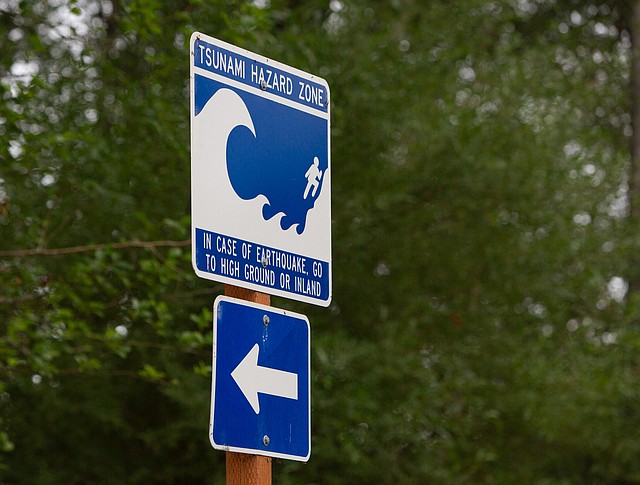 A tsunami hazard zone warns drivers on Marine Drive near the Nooksack River of the risk should an earthquake occur. (Hailey Hoffman/Cascadia Daily News)
The model will not only include the subduction zone, but the surrounding crustal faults as well. Crustal faults are smaller faults in the Cascadia region that can create shallow earthquakes. The well-known Seattle Fault is a crustal fault that runs under CenturyLink field.
“Understanding not just the orientation and geometry of the Cascadia Subduction Zone fault itself but also this network of crustal faults is really important for anticipating earthquake hazards,” Roland said.
CRESCENT will also connect researchers and stakeholders from around the country. In addition to Western, collaborating institutions include the University of Oregon, Central Washington University, Stanford University, Purdue University and others.
“It’s not purely a university basic research center,” Roland said of CRESCENT. “But, it’s an earthquake research center that’s focused on applying both science and hazard models and future workforce training toward Pacific Northwest earthquake hazards.”
Now that CRESCENT has received funding, one of the next goals will likely be making connections with local emergency management resources and government agencies, Roland said.
Whatcom County included earthquakes in its 2019 Natural Hazards Mitigation Plan, and currently has ShakeAlert — a tool that can identify seismic activity and give warning several seconds before shaking begins.

